
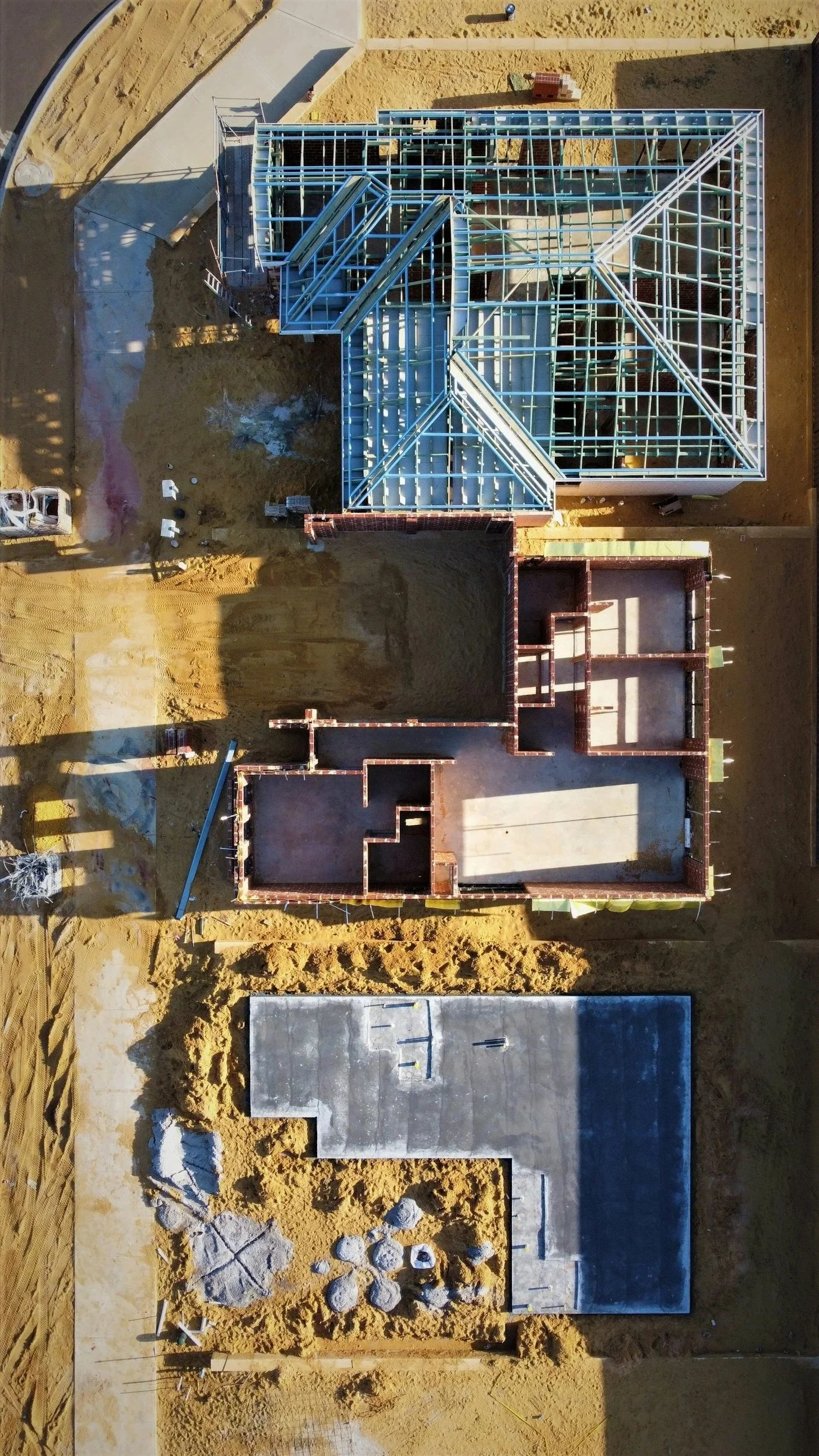
PRECISION SURVEYING FOR THE SOUTH EAST: DATA YOU CAN DESIGN FROM.
Axis Land Surveying provides high-accuracy Measured Building Surveys, Topographical data, and BIM-ready Point Clouds for architects, developers, and landscape designers.
Based in Kent, we deliver the technical precision your projects demand, at the speed your schedule requires.
Precision Without the Premium
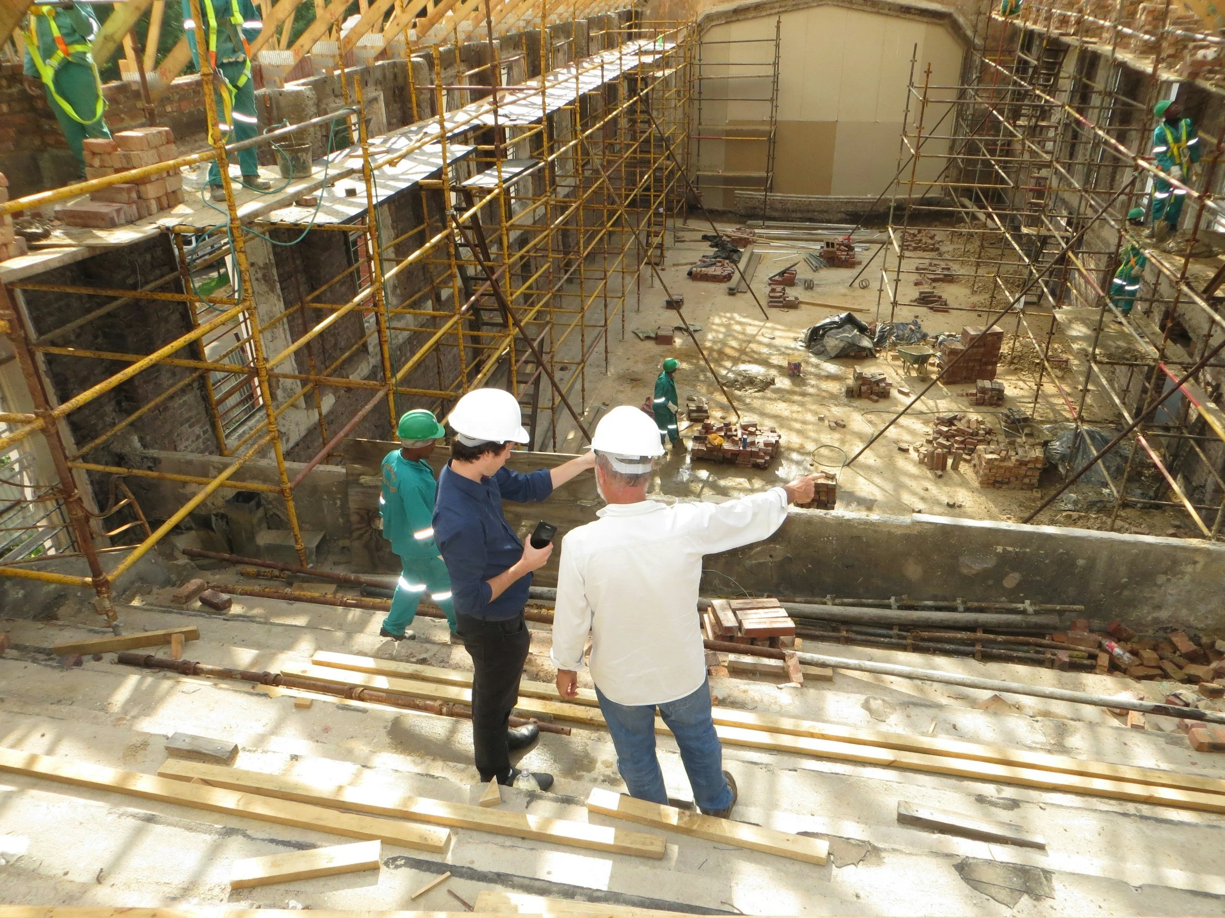
Operating for over 25 years in the South East, Axis Land Surveying bridges the gap between high-end technical data and project feasibility. We provide architects, developers, and landscape designers with cost-effective surveying solutions that never compromise on accuracy.
Responsive by Design
We understand that projects are often stalled by waiting for site data. Our team leverages decades of field experience to provide rapid mobilization and efficient data processing, ensuring your design phase stays on track.
“We have contracted Axis for several topographical surveys and have always had a positive experience. Their team is professional, efficient, and consistently easy to work with.”
— Andrew W., Architect